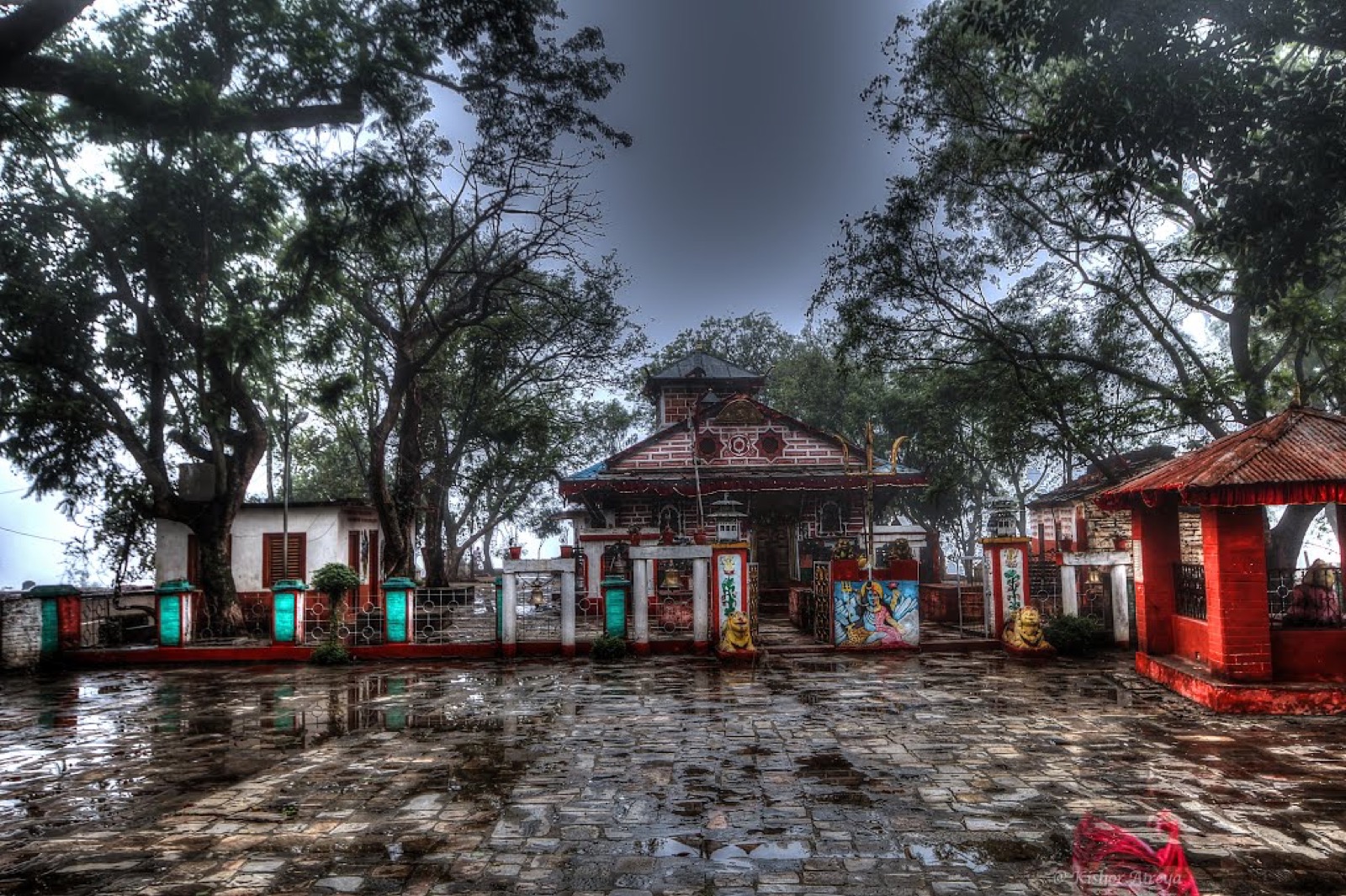
Doti is a district of the far west with a medieval kingdom in its history. Its headquarters, Silgadhi, sits inside Dipayal Silgadhi Municipality on the Seti River1,5. This page covers the whole district; its neighbours are in the districts hub, starting with Dadeldhura and Achham.
Where it is
Doti is part of Sudurpashchim Province and one of Nepal’s 77 districts1. With Silgadhi as its headquarters it covers 2,025 km21. The 2021 census recorded 204,831 people, against 211,746 in 20111. It has a literacy rate of 70.74% and a sex ratio of 1188 females per 1000 males1.
The district consists of nine municipalities, two urban and seven rural1. Dipayal Silgadhi and Shikhar are the urban ones1. In 2021, 31.42% of residents lived in municipalities1.
Dipayal Silgadhi lies in the Lesser Himalayas on the bank of the Seti River, at 563 m5. It had 32,941 people in 7,447 households at the 2011 census5, and it previously served as the headquarters of the Far-Western Development Region5.
Climate zones
| Zone | Elevation | Share of area |
|---|---|---|
| Upper tropical | 300 to 1,000 m | 22.2%1 |
| Subtropical | 1,000 to 2,000 m | 58.8%1 |
| Temperate | 2,000 to 3,000 m | 17.6%1 |
| Subalpine | 3,000 to 4,000 m | 1.2%1 |
Getting there
By road
The Seti Highway began in Dipayal Silgadhi and linked it to Amargadhi, the district headquarters of Dadeldhura5,2. It was a 66 km national highway before 2021, when the Seti Highway (H15) merged with NH03, the Pushpalal Highway2. From Amargadhi the Terai region can be reached on the Mahakali Highway5. See Dadeldhura for that end of the road.
Doti is also the gateway to Khaptad National Park8. The overland route can be made by bus from Kathmandu to Dhangadhi and then from Dhangadhi to Dipayal8. Another route starts with a flight from Kathmandu to Dhangadhi, followed by a drive through winding mountain roads9.
By air
Doti Airport (IATA SIH, ICAO VNDT), also called Silgadhi Airport, is a domestic airport in Dipayal Silgadhi at 577 m3. It has one asphalt runway of 490 m3; the Civil Aviation Authority’s factsheet gives the runway as 490 m x 20 m4.
The airport started operations on 24 September 19733. A CAAN factsheet (profile edited 12 February 2020) listed Doti Airport as Not in Operation4. The runway was blacktopped and upgraded in 2020, and the airport was reinaugurated on 3 October 20203. Scheduled flights to Dhangadhi started in 2022, and in October 2026 Nepal Airlines was the airline listed3.
History
Doti was a medieval kingdom of Kumaon, founded by Niranjan Malla Dev1. Kumaon lost Doti during the expansion of the Nepal kingdom in 17901. Dumrakot was the base of the Doti Kingdom during the fighting against the Gorkhalis1. The historic place of war between the Doti Kingdom and the Gorkha Kingdom during the expansion of Nepal in 1790 is Nari-Dang, which lies on the bank of the Seti River8.
The name Doti is believed to have originated from the word “Dovati”, which means the land between two rivers8.
Shaileshwori Temple
It is believed that after the divine marriage of Lord Shiva and Parvati, they chose the Chandragiri mountain in Doti as their retreat10. Mother Parvati then transformed herself into a rock to hide her presence10. The sacred rock was worshipped as Shiladevi, which later became known as Shaileshwori Devi10.
The trail to the temple winds through villages, forests and terraced fields10. The annual Shaileshwori Mela is held at the temple10.
Culture and food
Dhido, a thick porridge made from buckwheat or millet, is a traditional dish9. Gaura Parva is a major festival in Sudurpashchim Province9.
Khaptad and park fees
In April 2025 a temporary tourist police post was set up in Dipayal Silgadhi Municipality to ensure the safety of visitors to Khaptad and surrounding tourist areas6. The post protects both domestic and foreign visitors to Khaptad National Park, and has a team of seven police personnel6.
Khaptad National Park charges an entry fee per person per entry. In October 2026 the Nepal Tourism Board’s park entry-fee table listed it as follows, with children under 10 free7:
| Visitor | Khaptad National Park entry | Seen |
|---|---|---|
| Nepali | NPR 100 per person per entry | October 20267 |
| SAARC national | NPR 1,500 per person per entry | October 20267 |
| Foreigner | NPR 3,000 per person per entry | October 20267 |
Rules for the park are on the Khaptad National Park page, and the walking route is on the Khaptad trek page.
Read next
Achham: Mangalsen, Sanfebagar and the roads into the district
Achham district guide: Mangalsen headquarters, the paved road from Dhangadhi, the Mid-Hill Highway, Khaptad and what to know before you go.
District guidesDadeldhura: Amargadhi, the Bhimdatta Highway and Ugratara
Dadeldhura district guide: Amargadhi headquarters, the Seti and Bhimdatta Highway links, altitude and climate, municipalities and Ugratara temple.
District guidesBajhang: Chainpur, Saipal and Surma Sarobar
Bajhang district guide: Chainpur headquarters, the Saipal permit, flights and roads in, Surma Sarobar, Saipal Himal and climate by elevation.
Questions travellers ask
Where is the headquarters of Doti district?
Silgadhi, part of Dipayal Silgadhi Municipality, is the headquarters1. The town lies in the Lesser Himalayas on the bank of the Seti River5.
How many municipalities are in Doti district?
Doti consists of nine municipalities: two urban and seven rural1. The urban ones are Dipayal Silgadhi and Shikhar1. In 2021, 31.42% of the district's people lived in municipalities1.
Sources
- Doti District - Wikipedia · Wikipedia · en.wikipedia.org · checked 19 October 2026
- Seti Highway - Wikipedia · Wikipedia · en.wikipedia.org · checked 19 October 2026
- Doti Airport - Wikipedia · Wikipedia · en.wikipedia.org · checked 19 October 2026
- Doti Airport (CAAN airport factsheet, profile edited 12 Feb 2020) · Civil Aviation Authority of Nepal · caanepal.gov.np · checked 19 October 2026
- Dipayal Silgadhi - Wikipedia · Wikipedia · en.wikipedia.org · checked 19 October 2026
- Tourist police post set up in Doti · Kathmandu Post · kathmandupost.com · checked 19 October 2026
- Park Entry Fees in Nepal · Nepal Tourism Board · ntb.gov.np · checked 19 October 2026
- Mystical Doti: the land between two mighty rivers · Nepal Traveller · nepaltraveller.com · checked 20 October 2026
- Exploring the Doti district · Nepal Traveller · nepaltraveller.com · checked 20 October 2026
- Shaileshwori Temple: Doti's peaceful hideaway · Nepal Traveller · nepaltraveller.com · checked 20 October 2026
Image credits (1)
- Bsnt Balayar / Wikimedia Commons · CC BY-SA 4.0 · source

Fees, fares and road conditions change: each note shows the date it was checked. How we check facts · Report an error.